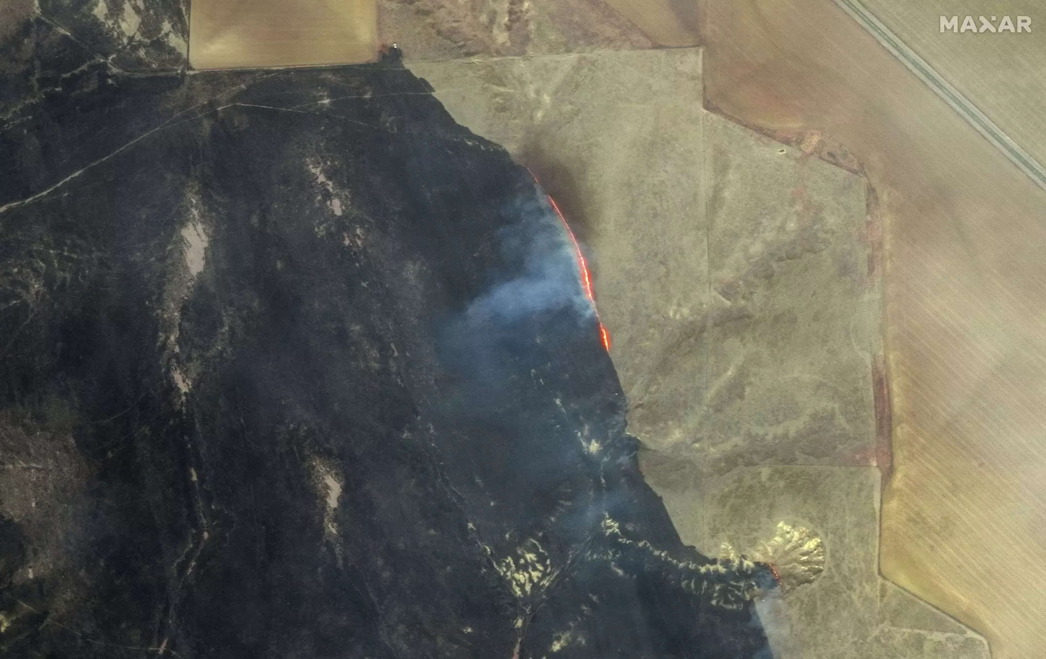
A massive fire blazing across the Texas Panhandle and parts of Oklahoma this week spans nearly 1.1 million acres (1,700 square miles), making it the largest fire in Texas history. The inferno, dubbed the Smokehouse Creek Fire, is so big that it’s visible from space.
The imagery, which shows thermal hotspots linked to the Smokehouse Creek Fire, is what’s known as a false color visualization.This type of image displays portions of the infrared spectrum sensitive to fire activity. It was captured by GOES-16, a satellite that orbits roughly 22,000 miles (36,000 kilometers) above the Earth’s surface.
On the ground, firefighters are rushing to control the fire, which grew rapidly after igniting in Hutchinson County on Feb. 26. “The reason that this fire got so big so fast is we had a goldilocks collection of circumstances, which is low relative humidity, dry [trees and grass] and high winds,” says Sean Dugan, a Texas A&M Forest Service public information officer. Although precipitation fell on Thursday, helping calm the fire, it remains only 3% contained, he says. A big concern is that windy conditions in coming days could spread this and other active fires in the area further and help fuel new ones.
The exact origins of the Smokehouse Creek Fire are currently under investigation, though Xcel Energy Inc. said in a regulatory filing it has been asked to preserve a fallen utility pole near where the fire possibly ignited as evidence.
The fire has thus far burned through more than a million acres in Texas and an additional 25,000 acres in Oklahoma. At least one person has died, according to local media reports, in addition to destroying an unknown number of homes. Tens of thousands of cattle are suspected to have died. The Texas Panhandle is home to roughly 85% of the state’s cattle population, according to the Texas Department of Agriculture.
The previous largest fire in Texas was the East Amarillo Complex fire of 2006, which engulfed 907,245 acres.
Source link

